Most of this guide lives in the hills: the volcano rims, the crater lakes, the cool coffee towns of the Ruta de las Flores. Sonsonate is where those hills end. Drive south from Santa Ana or down from Nahuizalco and within half an hour the air thickens, the coffee gives way to sugar cane and pasture, and the temperature climbs. Sonsonate, at around 200 metres, is the main town of the plain, and beyond it the land runs on to the Pacific.
Few travellers spend long here, and the town makes no special effort to hold them. But it is a real regional centre with a long history, and it is the hinge between the highlands and the coast. Knowing it makes sense of the whole west.
A hot town with an old past
Sonsonate was founded by the Spanish in the sixteenth century, close to older Pipil towns, and for much of the colonial period it was one of the most important places in what is now El Salvador. The wealth came from cacao. The lands around Izalco and Sonsonate grew cacao of high quality, and cacao beans were valuable enough to be used as money across the region. Later, the coast to the east became known as the Balsam Coast, after the aromatic resin tapped from its trees and shipped abroad.
Today Sonsonate is a busy, practical place of markets, bus stations, shops and traffic, the capital of the department of the same name. Its cathedral, with a cluster of white domes on its roof, is the main landmark, and Holy Week here is known for its processions. The heat is the other thing everyone remembers: the plain is hot through most of the year, and the middle of the day is for shade.
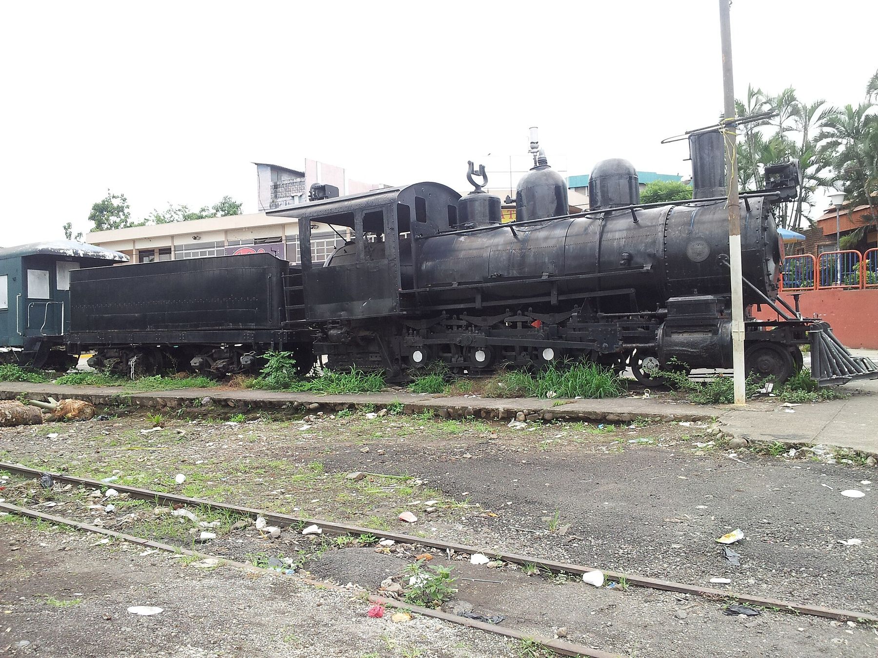
Old railway relics are another reminder of the town's past. One of the country's earliest railway lines linked the Sonsonate area with the port of Acajutla, carrying coffee and other goods to ships, and an old steam locomotive is kept on display in the town. Passenger trains no longer run here.
Izalco, below its volcano
On the way up from Sonsonate toward Santa Ana lies the town of Izalco, below the dark cone of the volcano that took its name. It is one of the oldest Pipil towns in the west, and in colonial times it was the centre of the cacao country. Izalco has two churches of note, one of them a ruin: the old walls of a colonial church left standing after earthquakes, open to the sky, near the newer church in use today. Walking among the ruined walls gives you a sense of how many times these towns have been shaken and rebuilt.
Izalco also carries the memory of 1932, when it was one of the centres of the uprising in the western coffee towns and of the massacre that followed. Many of the dead were Indigenous people from Izalco itself. The guide to Nahuizalco and Salcoatitán tells that history more fully, and the story of the volcano is in Izalco, the lighthouse of the Pacific.
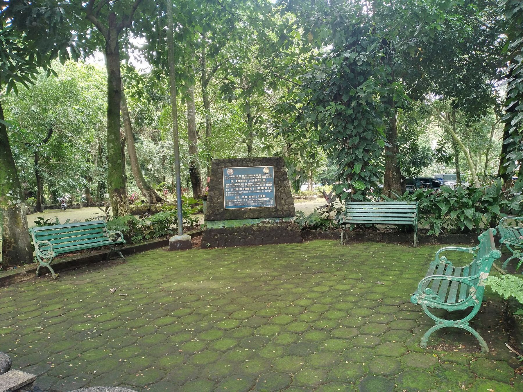
Just outside Izalco, Atecozol is a public park built around spring-fed pools under old trees, a place where local families come to swim and cool off. It is busiest at weekends and in the holidays.
How the highlands fall to the sea
The drop from the hills to the coast is one of the best things to see in the west, and you see it best from a vehicle. The roads that come down from Santa Ana, from Cerro Verde and from the Ruta de las Flores all descend through the coffee belt, then through a band of mixed farmland and finally onto the flat plain. The volcanoes stay in view behind you, with Izalco's dark cone the easiest to pick out.
The change in plants follows the change in height. Shade trees and coffee give way to cane fields, cattle pasture and big trees standing alone in the fields. In the dry season the plain turns brown and dusty, and in the rainy season it goes green almost overnight. The air changes too: cool and damp on the slopes, heavy and warm below.
The coast west of Acajutla
Beyond Sonsonate the road runs on to Acajutla, the country's main port on the Pacific, and from there the coastal highway follows the shore west toward the Guatemalan border. This part of the coast is quieter than the surf beaches east of the capital. Near Acajutla, Los Cóbanos is a rocky stretch of shore with a protected marine area offshore, known for its reefs, and further west the Barra de Santiago is an estuary of mangroves and channels behind a long beach.
The beaches of this coast are mostly dark volcanic sand, and the Pacific here is powerful. Waves and currents can be strong, lifeguards are not something to count on, and it is wise to ask locally before swimming and to stay within your depth. The sun at sea level is fierce, so plan for shade at midday.
Getting there and around
Sonsonate is a transport hub for the west. Buses connect it with Santa Ana, San Salvador, the Ruta de las Flores towns and the coast, though route numbers and timetables change, so check them before you set out; the page on getting around the west has more. With a car, you can come down from the flower towns, see Izalco and reach the coast in a single day, but drive in daylight and allow for slow traffic in the towns.
- Dress for heat: light clothes, a hat and sunscreen.
- Carry more water than you would in the hills.
- Ask locally about swimming conditions at any beach.
- Use small US dollar notes for buses and markets.
Conditions in El Salvador have changed a lot in recent years; check current official advice before you travel, especially for the coast and rural roads. The dry season, roughly November to April, has the most settled weather. Then head back up into the cool, to Juayúa or the volcanoes, and feel the temperature drop with every bend in the road.
Coffee note
From Sonsonate you look up at the coffee belt rather than walk through it. The fincas start on the slopes above Nahuizalco and Izalco, a short climb away.