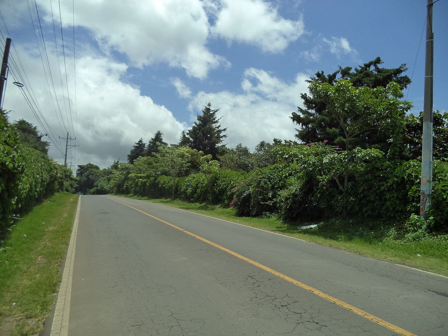
Western El Salvador is compact. Santa Ana, the volcanoes, Lake Coatepeque, the Ruta de las Flores, the Maya sites and the coast all lie within a couple of hours of each other, and many are much closer. That makes it an easy region to explore, whether you ride the local buses or drive yourself. This guide covers both in general terms. Routes, numbers, fares and rules change, so treat it as a starting point and check current details before you go.
The buses
Local buses are the backbone of travel in El Salvador. Many are old North American school buses, repainted in bright colours, fitted with racks and chrome and named or decorated by their owners. Travellers often call them chicken buses; locally they are simply buses. Alongside them run smaller microbuses, which tend to be quicker and more crowded, and on some routes there are more comfortable express services.
Buses are cheap, frequent on the main routes and used by almost everyone. You usually pay in cash, in US dollars, either to the driver or to an assistant who moves through the bus collecting fares. Have small notes and coins ready; large notes are a nuisance for everyone. Luggage space is limited, so travel light if you can, and keep your bag on your lap or between your feet rather than on the rack.
Routes and hubs
Buses are identified by route numbers, often painted on the front with the destination. Numbers are a useful guide, but they are not fixed for ever: routes are changed, merged and renumbered from time to time, so do not rely on a number you read somewhere without checking it locally. The simplest approach is to ask at the terminal or on the street which bus goes where you want to go.
Santa Ana and Sonsonate are the main hubs of the west. From Santa Ana, buses run to San Salvador, Chalchuapa and the Guatemalan border, toward Lake Coatepeque and toward Cerro Verde. From Sonsonate, buses run up the Ruta de las Flores through Nahuizalco, Juayúa and Apaneca to Ataco and Ahuachapán, and down to the coast. Some places, such as the volcano park and the lakeshore, have fewer services, so plan the return journey before you go and allow time in hand. Services thin out in the late afternoon and on Sundays, and the last bus back from a quiet place can leave earlier than you expect. Start early, ask the driver or the assistant where to get off, and you will rarely go far wrong.
Driving the west
A car gives you freedom to stop at viewpoints, combine several towns in a day and reach places with few buses. Hire cars are available in the country, mostly from the capital and the international airport; requirements for licences and permits change, so check them with the company and the authorities before you travel.
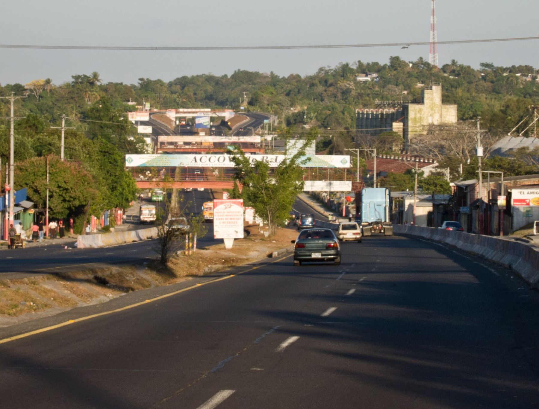
The main roads in the west are generally paved and in reasonable condition. The Pan-American Highway, the CA-1, links San Salvador with Santa Ana. The road through the Ruta de las Flores, usually signed as the CA-8, climbs from Sonsonate through the coffee towns to Ahuachapán. The coastal highway, the CA-2, follows the Pacific. Side roads to the lakes and volcanoes are narrower and steeper, with sharp bends and drops.
Driving is on the right. Expect speed bumps in every town, often without warning, buses that stop suddenly, pedestrians and animals on the road and slow trucks on the hills. Police checkpoints are common, so carry your licence, your passport or a copy and the car's papers. Avoid driving at night where you can: lighting is poor outside towns, and hazards are harder to see.
Taxis and short hops
In Santa Ana and the larger towns, taxis are useful for short trips and for reaching terminals. Agree the fare before you set off, as meters are not the norm. In some towns three-wheeled mototaxis cover short distances. For a day out to places with few buses, such as the volcano park, hiring a driver for the day can be simpler than juggling connections; agree the plan and the price clearly beforehand.
Borders
The west borders Guatemala, and several crossings connect the two countries, including Las Chinamas near Ahuachapán, San Cristóbal on the road from Santa Ana, Anguiatú in the north and La Hachadura near the coast. International buses also run through the region. Entry rules, fees and documents for El Salvador and its neighbours change, so check the current requirements before you travel.
Staying safe on the road
Conditions in El Salvador have changed a lot in recent years. Read current official advice for the country before you go and follow it as it is updated. On buses, keep valuables out of sight, carry only what you need and travel by day where possible. In a car, keep doors locked in towns, park in places where others are parked and plan routes in advance so you are not searching for directions after dark.
With those basics in place, getting around the west is straightforward. A typical plan might be a bus from Santa Ana to Tazumal in the morning, the drive or bus along the Ruta de las Flores on another day, and a day trip to the Santa Ana volcano with an early start. For the coast and lowlands, see Sonsonate and the road down to the Pacific.
Coffee note
Every road out of Santa Ana climbs into coffee. From a bus window you watch the shaded fincas come and go as the route rises and falls.